This accurate, colour-coded map shows all areas according to their actual size, with the North-South lines running vertically and the East-West lines running parallel. The poster features a brief discussion of the tendency of traditional maps to show countries incorrectly in proportion to one another, and describes the ‘growing awareness of the interdependence of all nations and all peoples.’

Peters World Map
€22.50
Out of stock
Book Details
You may also enjoy
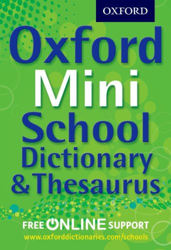
Oxford Mini School Dictionary & Thesaurus
€7.49
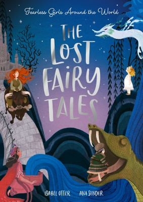
The Lost Fairy Tales : Fearless girls around the world
€12.49
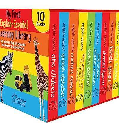
My First English : Espanol Learning Library (Mi Primera English – Espanol Learning Library)
€24.99

The Nativity
€12.50
Busy Ideas for Bored Kids: Christmas Edition
€12.50
Greek Myths and Legends Retold for Children : 16-Book Box Set
€43.74
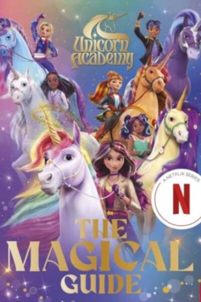
Unicorn Academy: The Magical Guide
€12.49
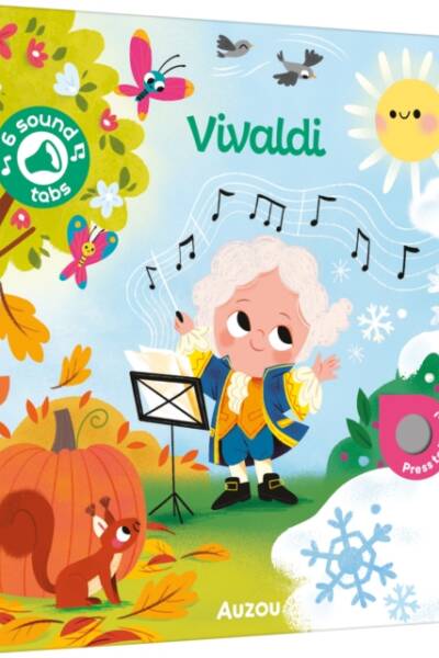
Vivaldi : My Word of Music
€12.49
Reviews
There are no reviews yet.