geog.atlas is an engaging atlas of accessible maps and supporting information. It features unique coverage of places likely to appear in the news, such as the Middle East, Afghanistan, and the Falklands. Special maps look at themes like global warming, desertification, and how people spread around the world. Stunning satellite images are placed alongside physical geography maps to aid understanding. A special section gives you up-to-date country data, while ‘Did you know?’ and ‘What ifEL’ circles provide interesting extra information and engaging facts. Full of clearly-labelled maps, straightforward explanations, and advice on how to ‘read’ maps and understand what they show, it will help improve students’ basic locational knowledge, enhance their understanding, and build their confidence. geog.atlas supports teachers whether they’re using geog.123 or an alternative course at KS3.
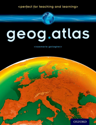
geog.atlas
€26.25
Delivery within 7 to 10 days
Book Details
You may also enjoy
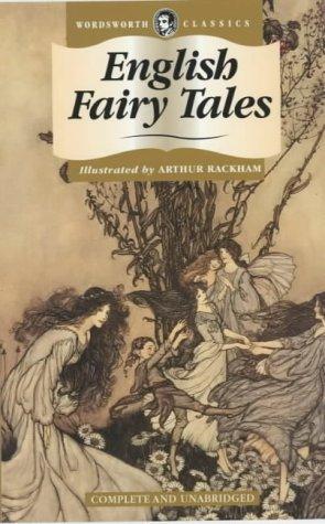
English Fairy Tales
€6.24
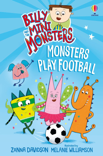
Billy and the Mini Monsters: Monsters Play Football
€8.74

Michael Rosen’s Book of Very Silly Poems
€8.74

Minecraft How to Draw
€12.49
Brainwave : Find your focus and unleash your brain’s superpowers
€13.74

Super Unicorn Princess: Toxic Takeover : A wildly funny graphic novel adventure! Volume 2
€12.49

World Kitchen : A Children’s Cookbook
€12.49
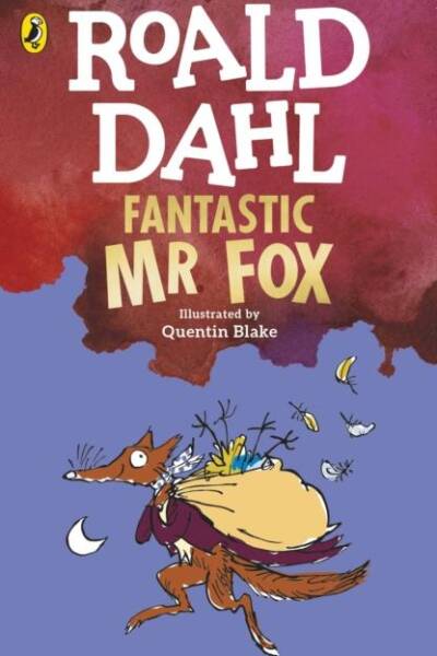
Fantastic Mr Fox
€9.99
Reviews
There are no reviews yet.